

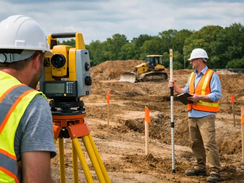
No matter how meticulous the architectural design, how rigorous the engineering calculations, or how skilled the construction crews, a built structure never matches its original blueprints down to the final millimeter. Unforeseen subsurface conditions, structural settling during concrete curing, minor field adjustments by trade contractors, and fabrication tolerances inevitably introduce discrepancies between design intent and physical reality. As-built surveying—frequently referred to as record surveying or verification surveying—is the specialized discipline dedicated to capturing, measuring, and documenting the exact final positions, dimensions, elevations, and configurations of structures and utilities immediately after construction is completed. Serving as the ultimate seal of quality assurance and legal accountability, as-built surveys bridge the gap between abstract design files and tangible physical assets.
The Imperative of As-Built Documentation
The primary objective of an as-built survey is to answer a definitive question: Where, precisely, was this built, and what are its exact physical dimensions? Throughout a construction lifecycle, design plans undergo field changes that may or may not be formally logged on paper. A foundation wall might be shifted five centimeters to bypass an unmapped boulder; a sanitary sewer pipe might be laid at a slightly steeper gradient to avoid an existing utility crossing; or steel support columns might exhibit minor thermal expansion and installation variances.
Failing to document these deviations creates severe long-term liabilities:
- Regulatory and Occupancy Compliance: Municipal building departments, zoning boards, and environmental agencies require certified as-built drawings to verify that buildings comply with height restrictions, property setbacks, parking requirements, and stormwater detention volumes before issuing final occupancy permits.
- Facility Management and Maintenance: Building owners and facility operators rely on accurate as-built records years later when planning interior renovations, troubleshooting electrical wiring, or replacing mechanical HVAC systems. Searching for a buried water valve or a hidden structural beam based on outdated original design plans leads to costly exploratory excavation and property damage.
- Legal and Warranty Protection: General contractors and project owners rely on as-built surveys to establish clear baseline records protecting against subsequent liability claims or disputes regarding structural placement and boundary encroachments.
Field Methodologies and Data Collection
As-built surveying is executed across various stages of a project’s completion to ensure concealed elements are captured before they are buried or sealed behind walls:
- Underground and Subsurface Utilities: Catching utilities as-built requires surveying infrastructure before backfilling trenches. Surveyors record the precise horizontal alignment, pipe material, diameter, and critical invert elevations (the interior bottom elevation of a pipe) of storm drains, sanitary sewers, water mains, electrical conduits, and gas lines using RTK-GNSS and total stations, preventing future utility strikes during subsequent construction phases.
- Structural Framing and Concrete Slabs: For multi-story commercial buildings, surveyors verify column plumbness, floor slab flatness (using strict ASTM standards for floor levelness and flatness ), anchor bolt placements, and structural steel alignment before interior finishes and facades are installed.
- Terrestrial Laser Scanning for Complex Interiors: In complex industrial plants, MEP (Mechanical, Electrical, and Plumbing) rooms, and historic renovations, surveyors deploy Terrestrial Laser Scanners (TLS) or handheld mobile mapping systems. Capturing millions of 3id points per second, laser scanners record every pipe bend, duct junction, and structural beam in extraordinary detail, eliminating the risk of missing hidden field installations during manual tape measurements.
Processing, Comparison, and Deviation Analysis
Once raw field measurements or laser point clouds are downloaded, the as-built data processing workflow focuses on comparison and validation:
- Design Overlay: Surveyors overlay the newly acquired as-built point cloud or vector linework directly on top of the original design CAD or BIM files.
- Color-Coded Heat Maps: Using specialized inspection software, engineers generate color-coded deviation maps where green indicates construction within acceptable tolerances, blue highlights areas below design grade, and red highlights areas above design grade or structural out-of-tolerance conditions.
- Clash Detection in BIM: For advanced projects utilizing Building Information Modeling (BIM), as-built points are converted into parametric elements within a Scan-to-BIM workflow, allowing facilities managers to inspect digital twins for structural clashes or maintenance accessibility issues.
Key Deliverables and Industry Applications
The final output of an as-built survey is typically a certified, red-lined or digitally updated set of CAD drawings (DWG/PDF format) bearing the seal of a licensed professional surveyor, accompanied by a comprehensive survey report.
- Civil Infrastructure and Roadways: Departments of transportation require as-built profiles of newly paved highways, bridge clearances, curb ramps, and drainage swales to verify compliance with safety standards and Americans with Disabilities Act (ADA) accessibility guidelines.
- Telecommunications and Power Transmission: Utility companies maintain meticulous as-built inventories of fiber-optic cable depths, utility pole attachments, and transformer locations to streamline network maintenance and emergency repairs.
- Commercial Real Estate and Lease Verification: Retail landlords and commercial tenants commission as-built interior surveys to verify rentable square footage in accordance with Building Owners and Managers Association (BOMA) standards, ensuring accurate lease calculations.
By providing an uncompromising, objective record of physical reality, as-built surveying ensures that digital assets match the physical world, safeguarding investments, streamlining maintenance, and providing absolute clarity for the entire lifecycle of the built environment.
